Ancient River Landscapes Discovered Beneath Antarctica's Ice Sheet
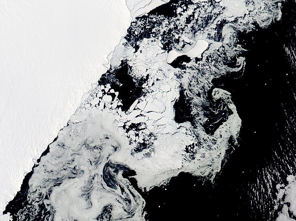
Researchers from Durham University have revealed the existence of ancient river-carved plains hidden beneath the thick ice of East Antarctica, providing critical insights into past climate conditions and enhancing predictions regarding future ice loss and sea-level rise. The study, published in the journal Nature Geoscience, highlights the significance of these landscapes in understanding the dynamics of the East Antarctic Ice Sheet (EAIS).
The investigation covered a vast area of approximately 3,500 kilometers (2,175 miles) across East Antarctica, specifically from Princess Elizabeth Land to George V Land. The team identified 31 flat surfaces beneath the EAIS, preserved under ice that can reach thicknesses of up to 2,500 meters (8,200 feet). These surfaces are interpreted as remnants of a once-continuous fluvial landscape that existed following the separation of East Antarctica from Australia. Dr. Guy Paxman, a leading researcher in the study, stated, "Information such as the shape and geology of the newly mapped surfaces will help improve our understanding of how ice flows at the edge of East Antarctica, which is crucial for predicting future sea level changes."
The ancient plains, which likely formed between 80 and 34 million years ago, survived significant glacial erosion due to their strategic positioning beneath the ice, where fast-moving glaciers carved deep troughs while leaving the flat surfaces intact. The geological analysis conducted by the researchers indicated that these surfaces are composed of crystalline gneisses and sedimentary rocks, confirming their origins from river erosion rather than glacial or marine processes.
Professor Neil Ross, another key contributor to the research, emphasized the plains' relevance to modern ice flow patterns. He noted, "This study brings the jigsaw pieces of data together, to reveal the big picture: how these ancient surfaces formed, their role in determining the present-day flow of the ice, and their possible influence on how the East Antarctic Ice Sheet will evolve in a warming world."
The implications of these findings are profound, particularly concerning the stability of the EAIS amidst climate change. The elevated plains could potentially slow the retreat of grounding lines, which are critical for maintaining the balance of ice sheets. If ice shelves were to collapse due to warming, some grounded ice might remain anchored over these ancient river systems, thereby mitigating overall ice loss into the ocean. As noted in the study, current large-scale ice sheet models often fail to account for these features, which could lead to inaccurate sea-level projections.
East Antarctica is home to approximately 90 percent of Antarctica’s ice, and its potential melting poses a significant threat, with projections estimating a rise in global sea levels by up to 52 meters (171 feet) if the entire ice sheet were to melt. As climate change accelerates, understanding the underlying geology and ice dynamics becomes increasingly essential. The research team advocates for further high-resolution modeling and drilling to enhance the comprehension of these buried landscapes and their influence on ice sheet stability and sea-level predictions.
This groundbreaking study not only sheds light on the ancient climate history of Antarctica but also underscores the importance of advanced geophysical surveys in unveiling the continent's hidden features, which may significantly shape our understanding of future climate scenarios. The collaboration involved institutions from the U.K., Germany, China, and Australia, reflecting a global effort to address the challenges posed by climate change.
Advertisement
Tags
Advertisement