Historic NISAR Mission: US-India Collaboration Set to Launch
The National Aeronautics and Space Administration (NASA) and the Indian Space Research Organisation (ISRO) are set to embark on a groundbreaking collaboration with the launch of the NASA-ISRO Synthetic Aperture Radar (NISAR) mission, an innovative Earth-observing satellite designed to provide unprecedented insights into the planet's surface. Scheduled for launch from ISRO's Satish Dhawan Space Centre in Sriharikota, India, the mission is expected to commence no earlier than late July 2025.
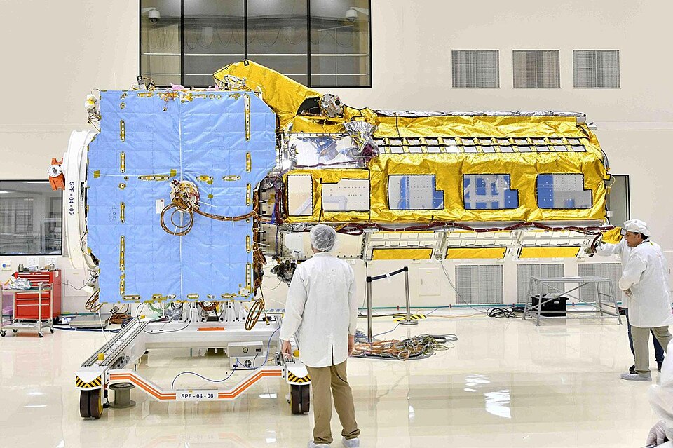
NISAR represents a historic partnership between the two space agencies, marking the first time they have jointly developed a satellite mission. The satellite will carry advanced radar systems that offer a dynamic, three-dimensional view of Earth, enabling the detection of minute movements in land and ice surfaces down to the centimeter level. This enhanced capability is critical for monitoring various environmental changes, including natural hazards such as earthquakes, volcanic eruptions, land subsidence, and landslides.
The mission will utilize two radar instruments: an S-band system provided by ISRO and an L-band system from NASA. The combination of these systems allows for comprehensive Earth surface monitoring, with the ability to scan nearly all of the planet's land and ice regions every 12 days. Each radar system specializes in measuring different attributes; for instance, the S-band radar focuses on moisture content and surface roughness, while the L-band radar primarily assesses motion and deformation.
According to Dr. Sarah Johnson, Professor of Earth Sciences at Stanford University, “The NISAR mission will significantly enhance our understanding of Earth’s dynamic systems and improve our ability to predict and respond to natural disasters.” This sentiment is echoed by other experts in the field, emphasizing the mission's potential to aid in timely disaster response and inform climate change research.
The detailed maps produced by NISAR will not only offer insights into gradual environmental changes but will also contribute to urgent response efforts during weather-related disasters such as hurricanes and flooding. The satellite's cloud-penetrating capabilities are particularly vital in providing real-time data during such events.
The mission is managed by the California Institute of Technology (Caltech) for NASA and involves collaboration from multiple ISRO centers. Notable contributions include the Space Applications Centre, which is responsible for the S-band SAR, and the U R Rao Satellite Centre, which developed the spacecraft bus. The launch vehicle itself is sourced from the Vikram Sarabhai Space Centre.
This ambitious project is seen as a significant step forward in international cooperation in space exploration and earth sciences. According to Dr. Michael Thompson, Director of Space Policy at the Brookings Institution, “NISAR not only strengthens US-India ties but also sets a precedent for future global collaborations in tackling climate change.”
As the world grapples with increasing environmental challenges, the successful launch and operation of the NISAR mission will undoubtedly contribute valuable data to the scientific community, enhancing our understanding of Earth's systems and improving disaster preparedness globally.
In conclusion, the NISAR mission stands as a testament to the power of international collaboration in space exploration. With its launch on the horizon, scientists and policymakers alike await the wealth of information that this innovative satellite will provide, potentially reshaping our approach to environmental monitoring and disaster response in the years to come.
Advertisement
Tags
Advertisement