Unusual Meltwater Patterns Discovered on Greenland Ice Sheet This Summer
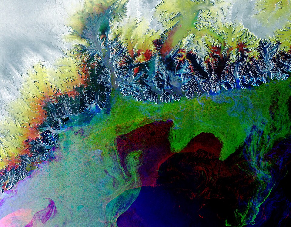
Satellite imagery from NASA's Landsat 9, captured on July 2, 2025, has revealed striking seasonal patterns on the Greenland Ice Sheet, including peculiar circles and even a smiley face shape formed by meltwater runoff. As summer temperatures rise, the ice sheet transforms, displaying vivid blue pools that resemble precious stones, a phenomenon linked to the annual melting process.
Kathryn Hansen, a researcher at NASA’s Earth Observatory, explains that these meltwater ponds are created as snow and ice melt, pooling atop the ice sheet. The images show various formations including ring-like structures with meltwater 'tails,' which are a result of natural melting processes. This year, the imagery indicates a higher-than-average melt rate, particularly along the western part of the ice sheet, according to data from the National Snow and Ice Data Center (NSIDC).
The significant melt events typically occur between May and September, and satellite images from this year show that the strongest melt surges happened from May through June. This trend is concerning as it suggests a potential shift in the melting dynamics, with melt patterns moving farther inland than previously observed. Hansen notes that last year’s data indicated that melt phenomena were occurring at locations further from the coast, raising questions about the long-term implications of climate change on Greenland’s ice.
These melt ponds are not only visually striking but also serve a crucial role in understanding ice dynamics. The meltwater can drain through fissures in the ice, acting as a lubricant that accelerates the flow of ice toward the ocean. This interaction is essential for researchers studying the overall health and stability of the ice sheet, as it can lead to the widening of crevasses and influence sea-level rise.
Furthermore, these seasonal changes are not merely aesthetic; they have profound implications for global climate patterns. The darker areas observed in the satellite images, attributed to impurities like ash and dust, can lower the ice's reflectivity (albedo). This change allows for greater absorption of solar radiation, further accelerating melting during warmer months.
Dr. Sarah Johnson, a climate scientist at the University of Colorado Boulder, emphasizes the importance of monitoring these phenomena. "Understanding meltwater dynamics is crucial for predicting future changes in the Greenland Ice Sheet and its impacts on sea-level rise," she stated. Recent studies have shown that even slight increases in melt rates can contribute significantly to global sea levels, as highlighted in the 2022 report published in the Journal of Climate Change.
As the scientific community continues to investigate these unusual patterns, the data collected from satellite images will provide valuable insights into the ongoing changes in the Greenland Ice Sheet and their broader environmental implications. The observations made this summer underscore the urgent need to address the challenges posed by climate change, particularly in fragile ecosystems like Greenland.
For more information and ongoing updates, researchers and the public can access NASA’s Earth Observatory website, which periodically publishes new satellite imagery and analysis related to climate change and its effects on polar regions.
Advertisement
Tags
Advertisement