Weather Update: ITCZ and Easterlies Bring Rain to Parts of the Philippines
On June 19, 2025, the Philippine Atmospheric, Geophysical and Astronomical Services Administration (PAGASA) reported that the Intertropical Convergence Zone (ITCZ) is currently affecting southern Mindanao, while the easterlies are expected to bring cloudy conditions and scattered rain showers across the rest of the country. The weather system signifies important meteorological patterns that could have implications for local agriculture and disaster preparedness.
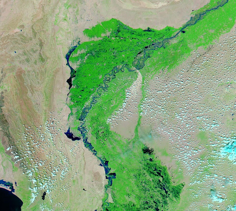
The ITCZ, a region where trade winds from the northern and southern hemispheres converge, is noted for its role in producing significant rainfall. This phenomenon is particularly active during the wet season in the Philippines, which typically spans from June to November. Dr. Maria Lopez, a climatologist at the University of the Philippines, highlighted that "the ITCZ's influence is crucial for replenishing water sources in Mindanao, which is often prone to drought."
According to PAGASA's latest updates, a Low Pressure Area (LPA) is situated approximately 360 kilometers west of Bacnotan, La Union. While this LPA is not expected to have direct effects on the surrounding regions, its presence indicates the potential for further weather disturbances in the coming days. As reported by PAGASA, areas such as Davao Region, SOCCSKSARGEN, and parts of the Zamboanga Peninsula are likely to experience cloudy skies, scattered rains, and thunderstorms due to the ITCZ. The agency also cautioned residents about the risk of flash floods and landslides stemming from moderate to heavy rainfall.
In addition to the ITCZ, the easterlies are expected to contribute to weather conditions throughout the Philippines. Areas such as Aurora and Quezon are forecasted to see similar patterns of cloudy skies and scattered rain showers, which could also lead to flash flood threats. Dr. Albert Reyes, a meteorologist at the Philippine Institute of Volcanology and Seismology, stated, "The interaction between these two systems can lead to unpredictable weather patterns, which we must monitor closely."
On the other hand, Metro Manila and other regions are likely to have partly cloudy to cloudy skies with isolated rain showers, primarily due to the easterly winds. The wind speed forecast indicates light to moderate winds from the east to southeast in Luzon, while Visayas and Mindanao will experience similar conditions but from the southeast to northeast.
The implications of these weather patterns are multifaceted. For instance, agricultural sectors in affected areas must prepare for possible disruptions due to heavy rainfall, while local governments are advised to activate disaster response protocols to mitigate risks associated with flooding. The National Disaster Risk Reduction and Management Council (NDRRMC) has been proactive in disseminating information and guidelines to ensure public safety.
As the weather continues to evolve, PAGASA will provide further updates to guide the public and stakeholders. The agency emphasizes the importance of remaining vigilant, particularly during the peak of the rainy season.
In summary, the interaction of the ITCZ and easterlies is currently shaping the weather across the Philippines, with significant rainfall expected in various regions. Local authorities and communities must remain informed and prepared for the potential impacts of these weather systems as the situation develops.
Advertisement
Tags
Advertisement